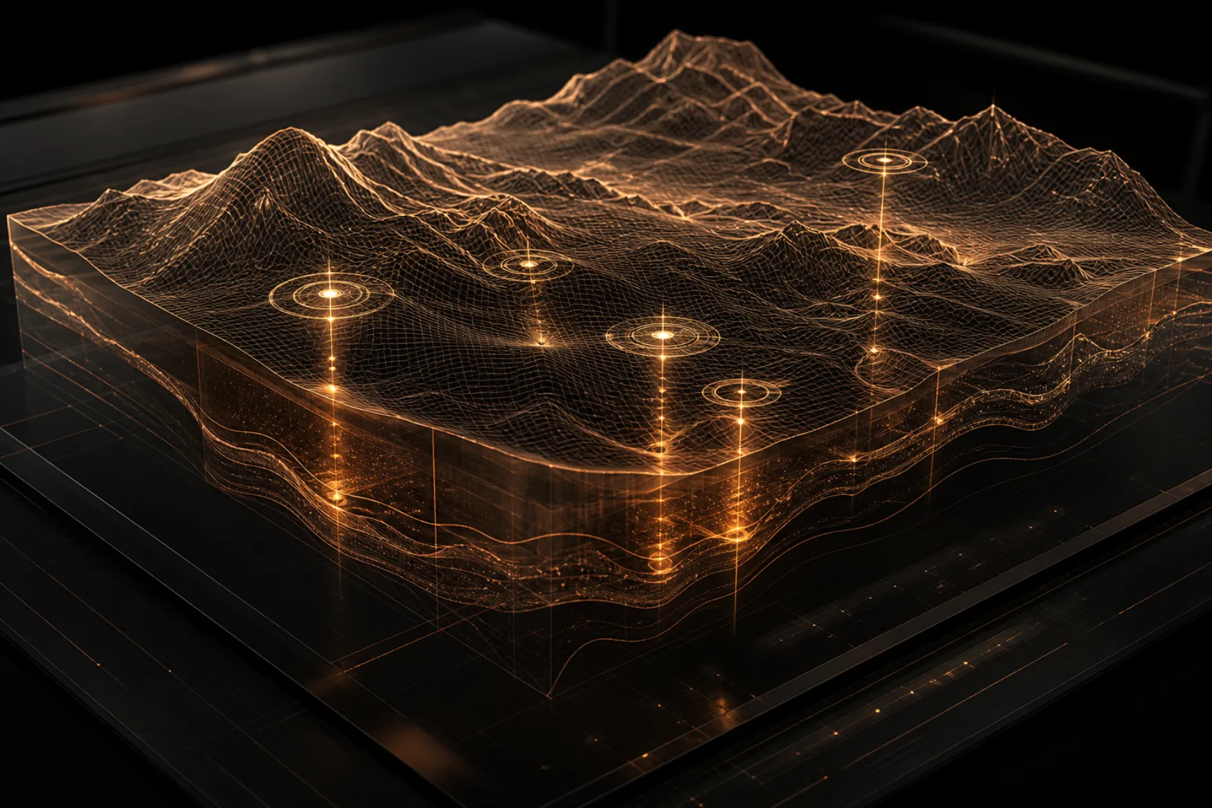
Literature and databases
World specialist literature on key ore provinces; purchased catalogues of deposits, mines, geophysical surveys and historical exploration — in one contour, with a verifiable source behind every report figure.
computation, not guessing

An intelligent system that mathematically computes where minerals lie — and at what depth.
first calculation is free →The client provides only the coordinate points of the area contour. The system answers: which commodity, where exactly, at what depth, in what expected quantity and chemistry — and delivers a ready field-work program. Before the first geologist steps into the field. The first calculation is free.
about
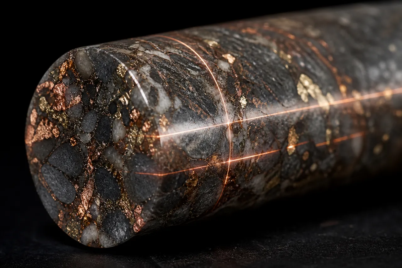
ny-geo replaces the longest and costliest stage of exploration — desk study and target selection — with rigorous mathematical computation. From the area contour it runs a full analysis suite: regional geology and exploration history through to per-pixel satellite interpretation. The outcome is a reproducible numeric verdict: ranked targets with coordinates, forecast depths, ore chemistry, resource ranges and a verification program. Forecasts are never presented as reserves.
At the core is a proprietary geological knowledge store (~50 TB) and a mathematics corpus (~16 GB). The mass joins literature, industry databases, satellites, geophysics and analogue models — assembled deliberately and still growing.
World specialist literature on key ore provinces; purchased catalogues of deposits, mines, geophysical surveys and historical exploration — in one contour, with a verifiable source behind every report figure.
Multispectral and radar imagery, digital elevation models, tasked scenes down to 0.5 m/pixel and multi-year time series of the same area: alteration halos, structures, palaeovalleys, artisanal workings and landscape change.
Computation includes symbolic laws of ore formation and metallogenic regularities: parageneses, structural–tectonic controls, deposit types and pathfinder elements. The area is matched to 389 world analogue deposits — grade and tonnage distributions are calibrated on operating mines. This is not image similarity; it tests how well the area obeys known geological rules.
Area expertise includes climate, seismicity and access. Hydrogeology forecasts aquifers, yields and mineralization; precipitation and runoff enter every report. Required for the field program, water supply and dewatering.
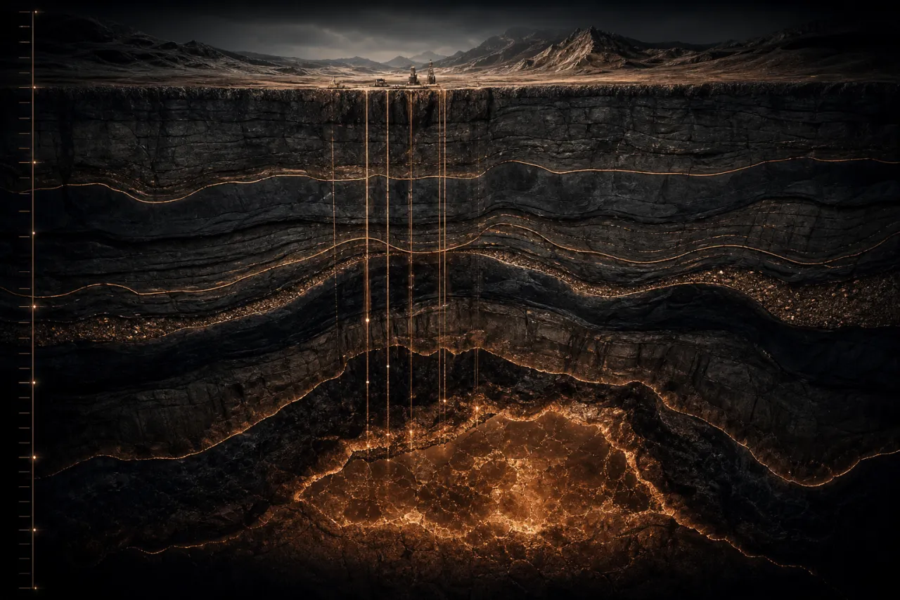
Ordinary neural nets predict without explaining why. Ordinary expert rules know why but struggle with probabilities on large data. The ny core is a hybrid: symbolic laws of ore formation, proven by geological science, joined to neural and statistical models. Twenty methods produce numeric scores; the core fuses them into a weighted verdict with confidence. A forecast stratigraphic column is built from 0–4000 m. Resources are stated only as honest ranges calibrated on operating analogue mines.
Every area passes the full suite of directions — as if twenty specialists worked it. The method list is public; the mathematical implementation is proprietary.
deliverables
Coverage is the entire world except Antarctica and the North Pole region. Knowledge bases, satellite series, geophysics and the atlas of 389 analogue deposits apply to any client contour within this zone.
Boundary points of the area and target commodity.
Twenty methods, world analogues and the scientific base → verdict, targets, depths, chemistry, resources.
Up to 28 sections (you set the format), Premium 3D, a “where to dig” map, a budgeted work program.
Full package within 24 hours. Expected effectiveness of field verification of targets — 70–80%.
the ny system · terms
ny is a neurosymbolic machine built over years. It is not for sale, has no open internet access, and does not “guess”. You give coordinate points. ny computes. You receive a result you can verify in the field.
ny runs on its own powerful server with no direct network access. Your materials never leave the protected contour, never go to external services, and are never reused for other clients.
Sources, weighting algorithms and the mathematical apparatus remain proprietary. The only object of sale is the computed result. The methodology cannot be reproduced from the report — that is both the power and the protection.
From you — only contour coordinates and target commodity. The first calculation is free. Every figure in the report can be checked by instrument or drillhole. Blind search is replaced by verification of specific targets.
Coordinates are your step. Computation is ours. Prove it to yourself: the first calculation costs nothing.
Send the coordinate points of your contour and the target commodity. You will receive an answer about your subsurface — with targets, depths and chemistry.